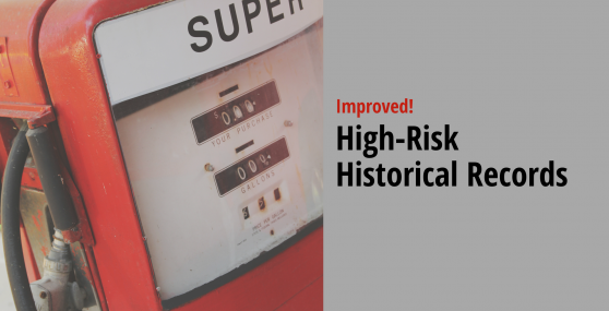
EDR recently made improvements to the High-Risk Historical Records database, making it more accurate and complete. HRHR helps identify the riskiest historical property uses: gas stations, dry cleaners and manufactured gas plants (MGPs).…
READ MORE >
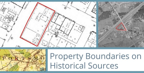
Now, the boundary you select during the ordering process will outline your target property on aerial photos, Sanborn Maps®, and Topographic Maps.
- Quickly identify your subject property and easily track changes over time.
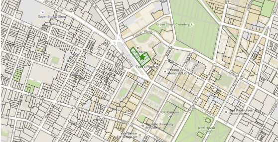
Today we are excited to announce the introduction of tax parcel maps on EDR’s online ordering form, making your subject property research faster, easier and more accurate.
With EDR’s Tax Parcel maps:
- Quickly
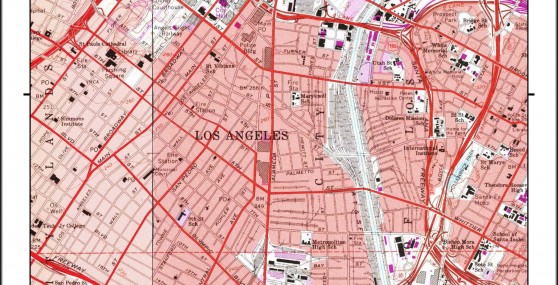
Today we are excited to announce the introduction of QuadMatch™, an advanced mapping solution that intelligently presents USGS historical topographic quad maps, making review faster and easier.
QuadMatch:
- Centers your target property and
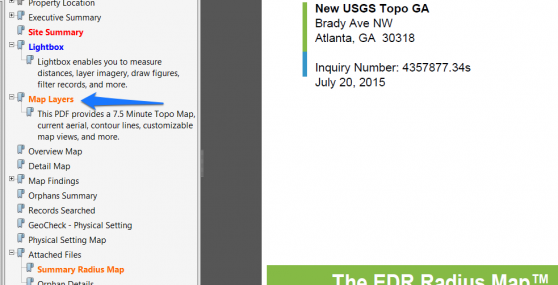
We recently updated the current topographic maps in our flagship products! This makes your EDR Radius Map, Lightbox and Drawing Tools even more powerful. Here’s how to access the updated topos from all…
READ MORE >
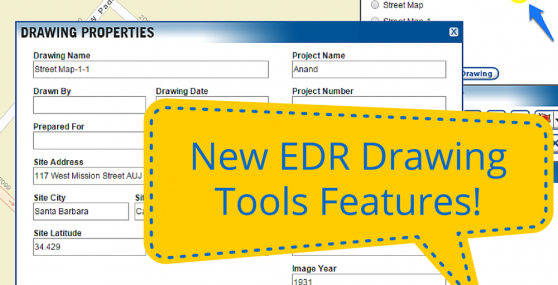
EDR recently launched an improvement to EDR Drawing Tools in both PARCEL and Lightbox that allows you to print multiple drawings at the same time.
What’s changing?
Instead of printing drawings one by…
READ MORE >
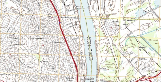
EDR has updated the Current Topographic Map included in your Radius Map Reports, Drawing Tools, Lightbox, and VEC App. These maps were created by the United States Geological Survey (USGS) between 2010 and…
READ MORE >
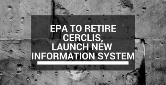
In the fall of 2014, EPA announced it will retire CERCLIS, the Comprehensive Environmental Response, Compensation, and Liability Information System and replace it with the new Superfund Enterprise Management System (SEMS). For over…
READ MORE >
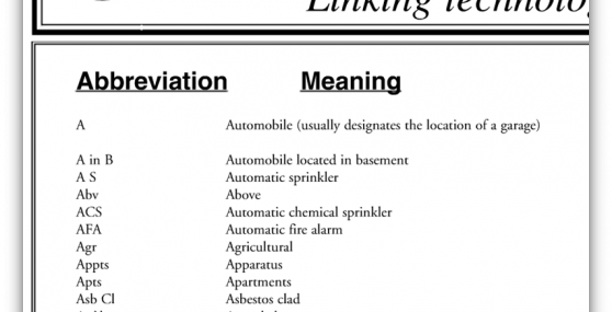
One of the our most-requested tools, at your fingertips! We’ve printed hundreds of thousands of these Sanborn Map legends over the years, and just about every environmental consultant has a copy on their…
READ MORE >

Sometimes we come across an aerial photo or city directory collection that just makes us a little TOO excited about historical research. We had one of those moments recently.
Our fantastic content team,…
READ MORE >