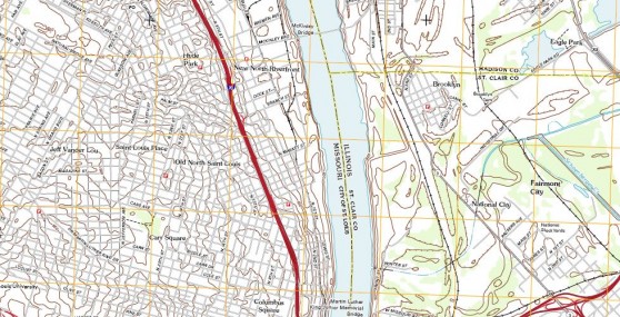
EDR has updated the Current Topographic Map included in your Radius Map Reports, Drawing Tools, Lightbox, and VEC App. These maps were created by the United States Geological Survey (USGS) between 2010 and…
READ MORE >
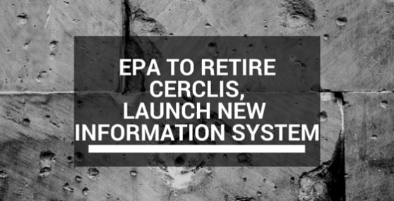
In the fall of 2014, EPA announced it will retire CERCLIS, the Comprehensive Environmental Response, Compensation, and Liability Information System and replace it with the new Superfund Enterprise Management System (SEMS). For over…
READ MORE >