Historical aerial photographs are useful when identifying differences and changes of a property over time. Environmental professionals can glean a lot of valuable information from these photos, such as past property uses, locations …
READ MORE >

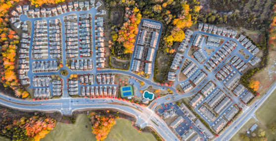
LightBox announced today that it has acquired the leading premier provider of building and structure boundaries for location analytics, BuildingFootprintUSA™, immediately making building footprints data available to all of its customers.
Now …
READ MORE >